Centimeter accurate mapping and environmental monitoring.
Complete survey coverage in hours instead of weeks.
Data driven insights for strategic project planning.
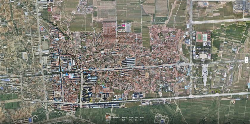
High resolution orthomosaic generation for planning, monitoring, environmental assessment, and infrastructure management. Our photogrammetry workflows produce seamless, georeferenced imagery suitable for GIS analysis and operational decision making.
Accurate terrain analysis through UAV photogrammetry, Digital Surface Model (DSM) generation, Digital Terrain Model (DTM) extraction, contour mapping, and elevation modeling. Ideal for development planning, watershed analysis, and infrastructure corridor assessment.
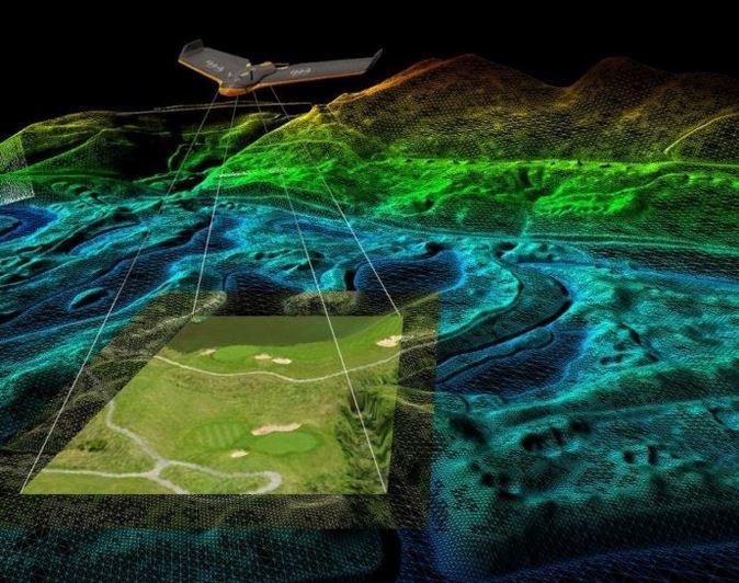
Flight path optimization, sensor calibration, weather assessment.
UAV flight operations with RTK/PPK positioning systems.
Photogrammetry, orthorectification, DSM/DTM generation.
Accuracy verification, geometric validation, completeness checks.
GIS ready products, reports, visualizations, analysis.
High resolution georeferenced imagery.
3D surface elevation including objects.
Bare earth elevation data.
LAS/LAZ format spatial intelligence.
Topographic line visualization.
Cut/fill analysis and stockpile measurement.
Technical documentation and analysis.
Geotiff, Shapefile, and standard formats.
