Research & Innovation

Environmental Intelligence & Innovation

Transforming Research, Technology and Field Intelligence Into Environmental Solutions.

Phyterra develops environmental technologies, intelligence systems, monitoring platforms and decision support solutions by combining scientific research, geospatial intelligence, field expertise and innovation driven development.

01
Research & Discovery
02
Innovation & Design
03
Development & Validation
04
Deployment & Impact

Why Environmental Intelligence & Innovation Matters

Environmental challenges require more than scientific understanding. They require deployable technologies, scalable systems and practical solutions that transform knowledge into measurable outcomes.

Challenge

Identify

Research

Understand

Data

Analyze

Solutions

Transform

Impact

Deliver

Environmental Intelligence & Innovation Philosophy

Science Led

Every solution begins with rigorous research, environmental science and evidence based understanding.

Technology Driven

Leveraging AI, GIS, remote sensing, analytics and monitoring technologies.

Impact Oriented

Designed to generate measurable environmental, social and operational outcomes.

Research & Innovation

Research Thrusts

Phyterra’s Research Thrusts are organized around four strategic areas that integrate drone technology, LiDAR, GIS, remote sensing, AI, field science, and environmental intelligence to create practical solutions for climate resilience, natural resource management, agriculture, biodiversity conservation, and sustainable development.

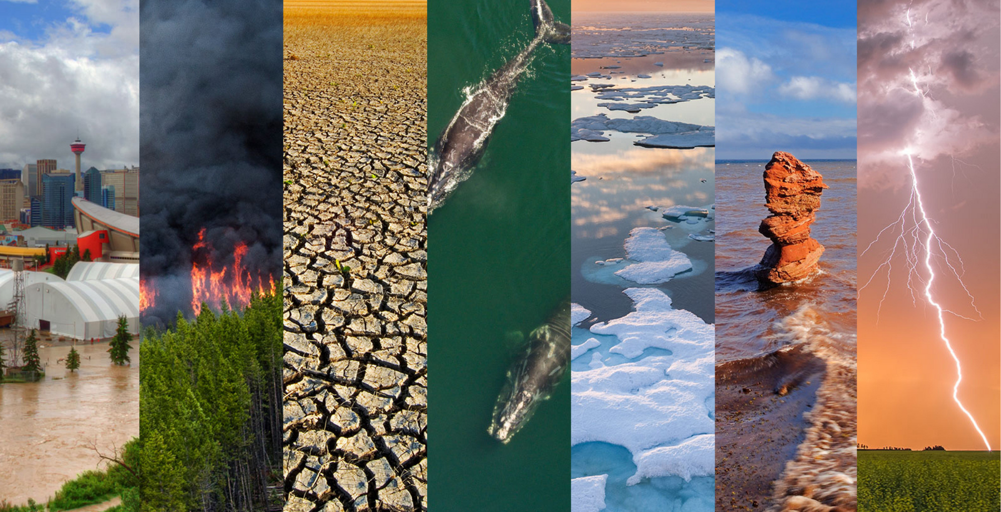
Climate, Resilience & Disaster Intelligence
Research Thrust 01

1. Climate, Resilience & Disaster Intelligence

Focused on climate-risk assessment, disaster risk reduction, vulnerability mapping, adaptation planning, early warning support, and resilience-based decision-making for governments, industries, and communities.

target

Research Scope

Key Focus Areas

check_circle Climate change assessment
check_circle flood and drought risk mapping
check_circle coastal vulnerability
check_circle disaster preparedness
check_circle resilience planning
check_circle climate adaptation intelligence
Research Thrust 02

2. Geospatial, Drone & LiDAR Technology

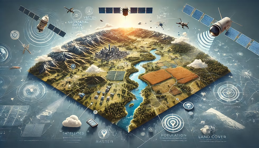
Focused on advanced mapping, terrain intelligence, 3D modelling, high-resolution surveys, remote sensing analytics, and field-based geospatial data systems.

map

Research Scope

Key Focus Areas

check_circle Drone mapping
check_circle LiDAR surveys
check_circle GIS analysis
check_circle Digital elevation models
check_circle Land-use mapping
check_circle Infrastructure mapping
check_circle 3D terrain modelling and geospatial data products
Geospatial, Drone & LiDAR Technology
Agriculture, Water & Natural Resource Systems
Research Thrust 03

3. Agriculture, Water & Natural Resource Systems

Focused on precision agriculture, soil–water monitoring, watershed assessment, land degradation analysis, irrigation planning, and sustainable natural resource management.

agriculture

Research Scope

Key Focus Areas

check_circle Crop health monitoring
check_circle Soil and water intelligence
check_circle Watershed mapping
check_circle Irrigation planning
check_circle Land suitability assessment
check_circle Groundwater recharge zones
check_circle Sustainable resource planning
Biodiversity, Ecosystems & Environmental Monitoring
Research Thrust 04

4. Biodiversity, Ecosystems & Environmental Monitoring

Focused on forest, coastal, wetland, wildlife, blue carbon, and ecosystem monitoring using drone, LiDAR, remote sensing, field survey, and environmental data platforms.

forest

Research Scope

Key Focus Areas

check_circle Forest monitoring
check_circle Biodiversity mapping
check_circle Habitat assessment
check_circle Coastal and wetland systems
check_circle Blue carbon monitoring
check_circle Ecosystem restoration
check_circle Environmental impact assessment
check_circle Long-term monitoring platforms

Let's Build Environmental Solutions That Create Lasting Impact

Collaborate with Phyterra to transform research, intelligence and innovation into scalable environmental technologies.