01
· Drone Survey & Mapping
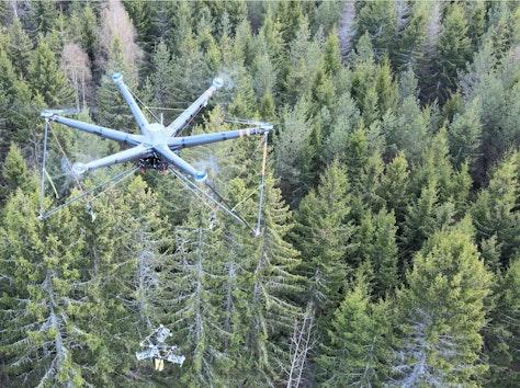
Safer field visibility from above the canopy.
We help teams understand remote, complex, and fast changing sites without putting people in harm's way. Clean aerial evidence becomes a shared picture for planning, monitoring, and action.
Precise Site Context
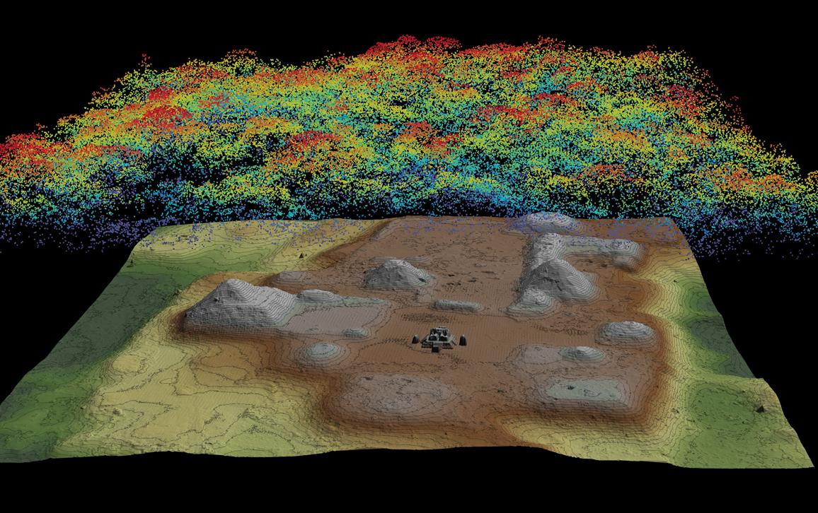
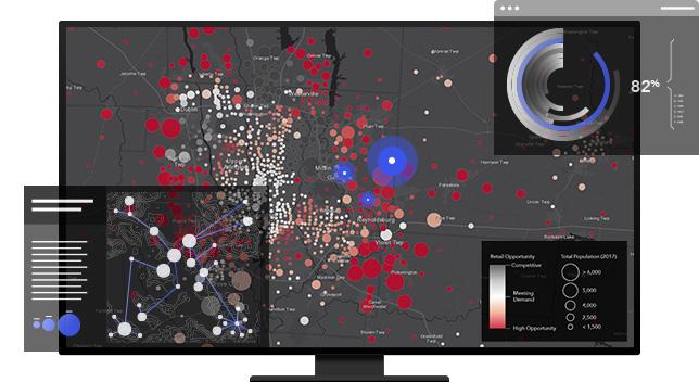
Aerial surveys translated into usable maps and models.
Faster Mobilization
Rapid coverage for large, sensitive, or hard to reach terrain.
Reduced Field Risk
Minimize manual exposure while improving evidence quality.
Decision Ready Outputs
Orthomosaics, inspections, and progress records for teams.
What We Deliver
- High resolution imagery
- Orthomosaic maps
- 3D terrain models
- Asset inspection records
Applications
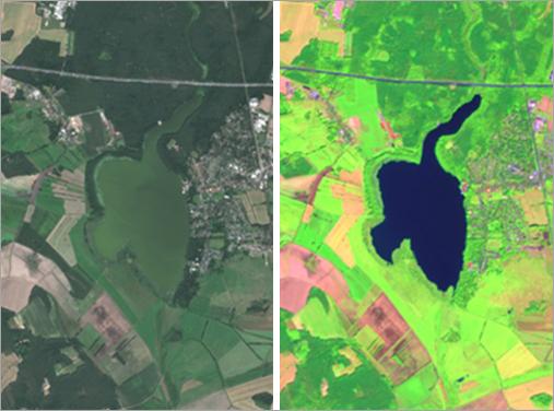
- Environmental monitoring
- Infrastructure planning
- Mining and land audits
- Agriculture field intelligence
Benefits
- Lower survey risk
- Faster field cycles
- Clearer stakeholder alignment
- Scalable documentation