Five products. One intelligence fabric.
From quantum grade AI cores to mission critical drones every Terra product is engineered to interlock and amplify the others.
5
products
8.4B
params
99.8%
accuracy

Map AI
Scope
Edge
Mesh
Grid
Intelligence for a Greener Tomorrow
Advanced Drone, LiDAR & Nanotechnology solutions for environmental intelligence and sustainable impact one visual snapshot of the Phyterra capability stack.
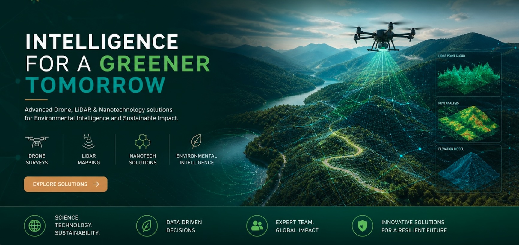
Drone Surveys
Sub cm aerial fidelity
LiDAR Mapping
Point clouds + elevation
Nanotech Solutions
Soil & water restoration
Environmental Intelligence
NDVI · canopy · climate
TerraMap AI
The cognitive backbone of the entire ecosystem. A multi modal environmental intelligence suite combining proprietary models, synthetic data, and computer vision.
TerraQuantum
8.4B parameter foundation model trained on 120+ spectral bands.
TerraSynthDB
Synthetic environmental data generation for rare event training.
TerraVision
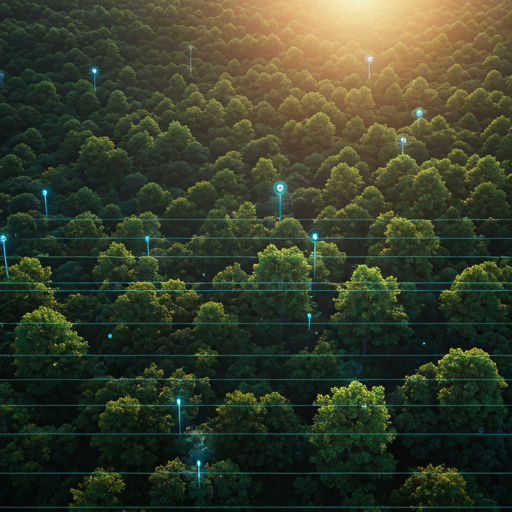
Real time multi spectral classification with sub pixel accuracy.
live · classification
99.8%
Cross validated on 2.4M field samples
14ms
120+
Global
SaaS / OnPrem
Cloud native operating picture
- cloud_doneMulti tenant dashboards with RBAC + audit logs
- apiOpen API + webhooks (REST + gRPC)
- policySOC 2 aligned encryption at rest & in transit
- monitor_heartSLA backed uptime, 24/7 mission ops desk
TerraScope
Stream every drone, sensor, and satellite into a single live operating picture. Built for global teams, fine grained access, and audit ready compliance.
TerraEdge
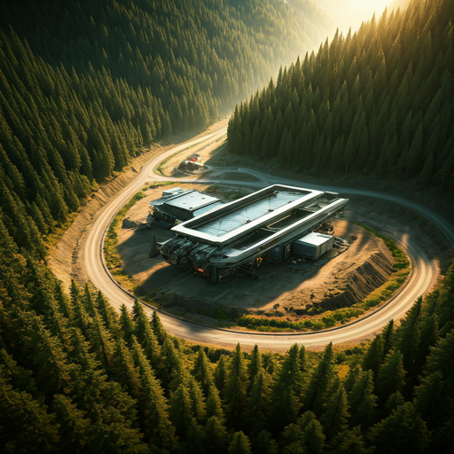
Mission critical, air gapped command for remote terrain. When the cloud isn't an option TerraEdge keeps your team coordinated, secure, and decision ready.
Air gapped
Hardware key
Mesh sync
72h battery
Field deployment manifest
- Operational temperature-30°C +55°C
- Local AI inferenceYes (onchip NPU)
- Cloud reconciliationAuto on reconnect
- Form factorRugged 1U brick
TerraMesh
High precision multi scan drones combining sub centimeter LiDAR, multispectral, and thermal payloads in one platform purpose built for ecological survey.
2cm
LiDAR resolution
120min
Flight time
5
Payload bays
Live earth, in one screen
A 1:1 digital twin for reservoirs, transmission lines, watersheds, and protected forests.
Tilesets
3D Cesium / Mapbox
Workflows
Drag drop
Alerts
Webhook + SMS
Modes
War room ready
TerraGrid
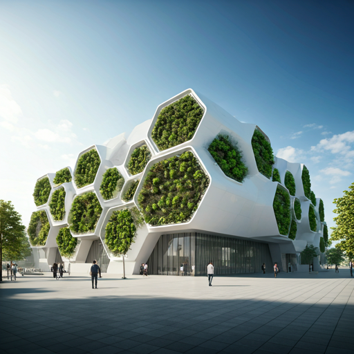
Centralized command, visualization, and orchestration. The hub where leaders, scientists, and field teams converge on a single source of truth.
Built to research grade rigor.
Neural mesh
Distributed inference reduces central compute latency by 84%.
E2E encryption
Quantum resistant protocol for all environmental packets.
Modular hardware
Hot swappable sensor modules zero downtime maintenance.
ISO 27001
Continuous compliance auditing GDPR ready by default.
Pick the right Terra stack for your terrain.
A 30 minute consultation pairs your mission with the right combination of TerraMap AI, TerraScope, TerraEdge, TerraMesh, and TerraGrid.